Explore Minnesota’s Premier Paved Bike Trail
Wheel Passes
Before you hop on the Mesabi Trail, grab a wheel pass. It’s required for anyone 18 or older. Buy an annual pass online, purchase one from a wheel pass vendor, or use the self-pay boxes.
Request your free Mesabi Trail Map to plan ahead.
Ride Through Minnesota’s Forests, Lakes, and Iron Range Towns
Minnesota is home to some of the best biking in the Midwest and when it comes to a premier trail that delivers varying distances, scenery, and authentic Minnesota character, the Mesabi Trail stands apart.
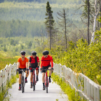
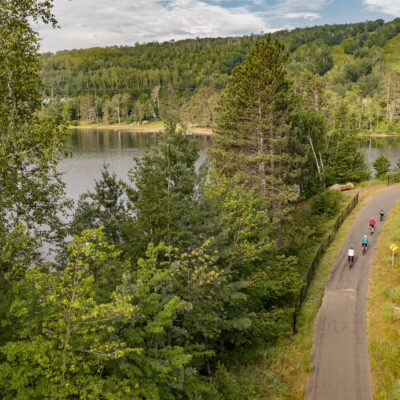
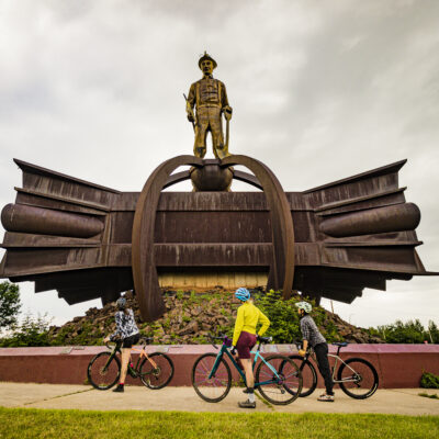
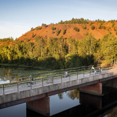
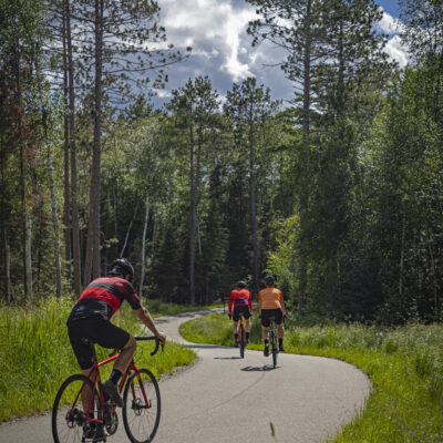
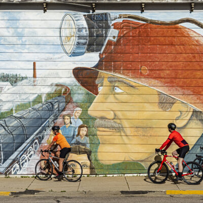
Extending more than 165 miles across northern Minnesota’s Iron Range, the long-distance trail connects forests, lakes, 28 charming small towns, and historic mining communities in one continuous paved route. Riders can pedal through dense hardwood forests, roll past sparkling lakes, or stop in welcoming Iron Range communities that have been part of Minnesota’s story for more than a century.
What You’ll Experience Along the Mesabi Trail
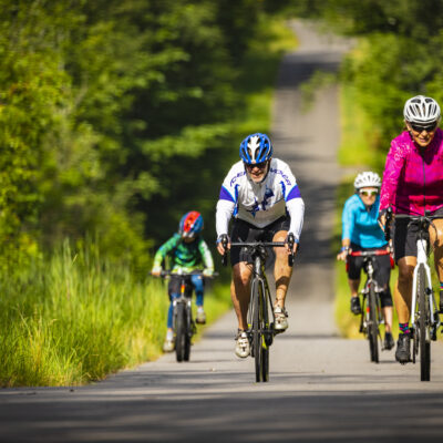
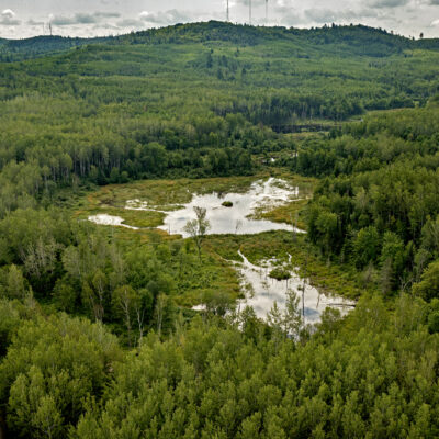
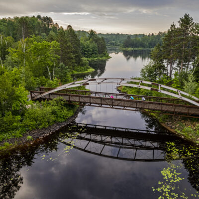
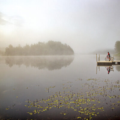
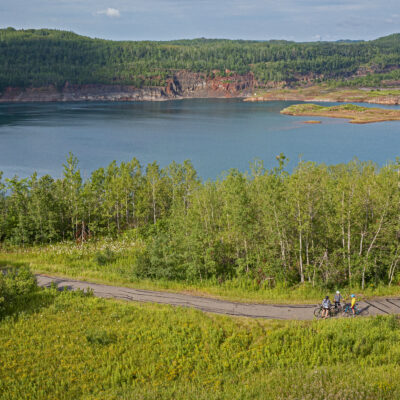
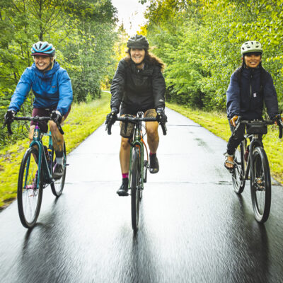
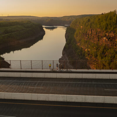
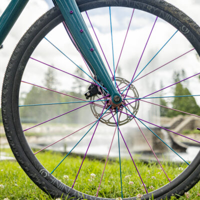
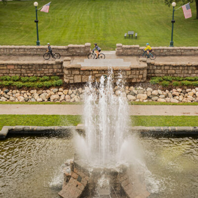
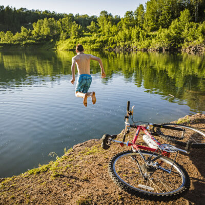
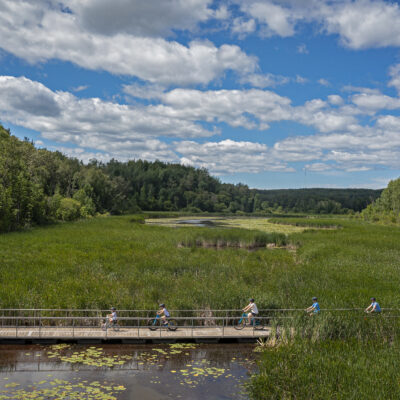
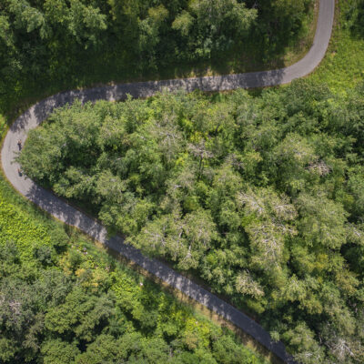
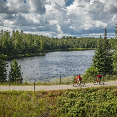
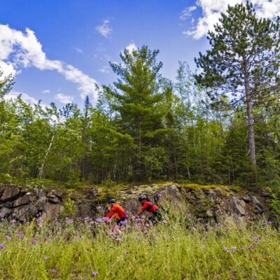
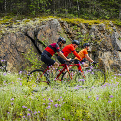
Bring the family for an adventure! Climb rolling hills and zoom down breathtaking descents. Take in the ever-changing scenery of rivers, marshes, natural lakes, and reclaimed mine lakes, harkening back to the region’s Iron Range heritage. As you wind through the hills, you’ll see emerald blue lakes, like Wynne and Camp, pedal through rolling hills and cruise down into the valleys.
Find the trail segment that matches the terrain and distance that best for your group. See our mileage chart on our Biking Guide to the Mesabi Trail page
Looking for the most spectacular fall colors? Visit the Mesabi Trail in Autumn.
Shuttle Service
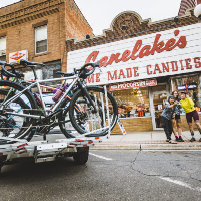
The Mesabi Trail Shuttle Service is available from Grand Rapids to Ely. The shuttle accommodates four bikes, passengers, and your gear per trip. (For larger groups, please contact us for pricing and availability.)
For more information, view the schedule online, email mesabi.shuttle@gmail.com or text 218-780-4541.
Main Trail Segments & Attractions
The Mesabi Trail spans four segments (Mississippi, Mesabi, Laurentian, and Vermilion). We chose a few of the most popular attractions you’ll want to see on your ride. For more information, order a free trail map.
-
Mississippi — Grand Rapids to Coleraine
Pokegama Lake (Minnesota)
A large, scenic lake offering expansive water views and a peaceful shoreline. It’s a classic Northwoods stop to take in Minnesota’s lake country landscape.
-
Mesabi — Mountain Iron to Virginia
Virginia Area Historical Society Heritage Museum
Located alongside beautiful Olcott Park, the museum complex consists of the former park superintendent's residence, a Finnish-style log house, and 1930s tourist cabin. Permanent exhibits depict logging & lumbering industries, Virginia's fires of 1893 & 1900, and Olcott Park's Master Gardener Gunnar Peterson. The VAHS archives are available for research purposes.
-
Laurentian — Gilbert to Embarrass
Giants Ridge Recreation Area
One of the premier outdoor recreation destinations along the Mesabi Trail, Giants Ridge offers mountain biking, golf, and sweeping views of northern Minnesota forests. It’s a great place to stop and explore beyond the trail.
Camp EsquagamaSince 1935, campers have been building friendships, gaining confidence, and creating lifelong memories on the shores of Lake Esquagama. Located in northern Minnesota, just a few hours from the Twin Cities and an hour from Duluth, our 45-acre camp offers the perfect setting for a summer filled with adventure, connection, and time spent outdoors.
-
Vermilion — Tower to Ely
Soudan Underground Mine State Park
Tour Minnesota’s oldest underground iron mine or explore scenic trails above ground. It’s one of the most distinctive historical experiences on the Mesabi Trail.
Dorothy Molter MuseumLearn the story of the “Root Beer Lady” through preserved cabins and exhibits celebrating life in the Boundary Waters wilderness.


Navigating the Mesabi Trail
For digital wayfinding, add the RideWithGPS app to your smartphone. It provides a map, mileage for the trail segments, and elevation details.
Plan Ahead, and Request a Free Trail Map
Get the most out of your Mesabi Trail fall biking trip with a free trail map. It shows distances, elevations, and the best pit stops for steaming hot chocolate, a snack, or more. Your packet also includes visitors’ guides to Grand Rapids and the Iron Range. We’re overwhelmed with requests this time of year, so please allow one to two weeks for delivery.
The Mesabi Trail has been funded in part by the LCCMR and the Minnesota Environmental and Natural Resources Trust Fund.
