A Biking Guide to the Mesabi Trail
Mesabi Trail Overview
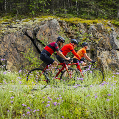
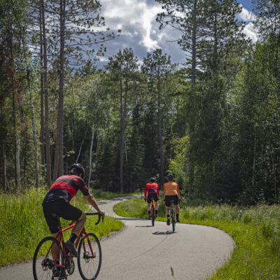
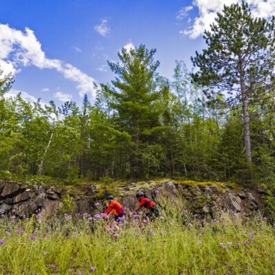
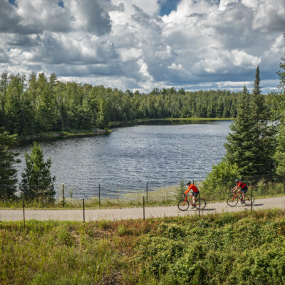
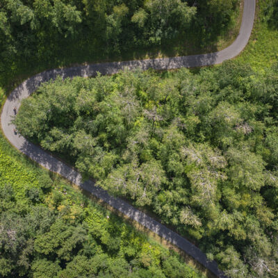
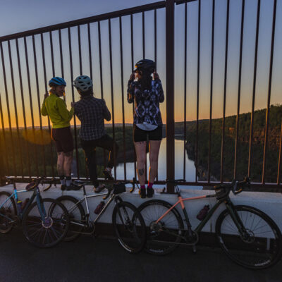
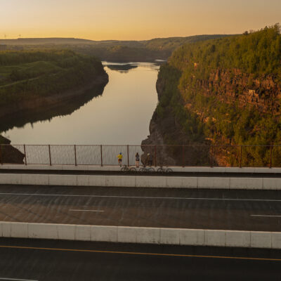
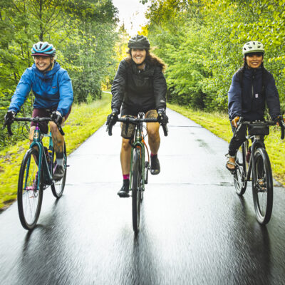
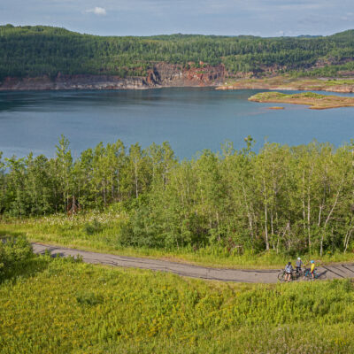
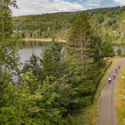
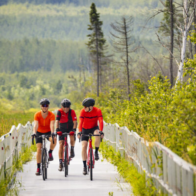
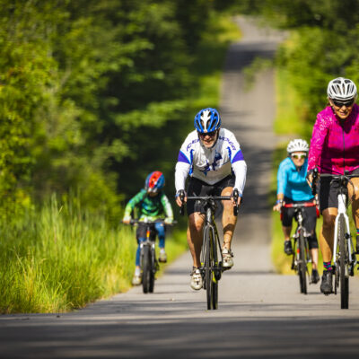
The Mesabi Trail is a 165-mile paved bike trail in Minnesota stretching across northern Minnesota’s Iron Range from Grand Rapids to Ely. Unlike traditional rail-to-trail routes, the Mesabi Trail follows the natural terrain, giving riders a mix of flat sections, rolling hills, and exhilarating downhill stretches.
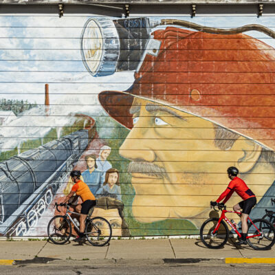
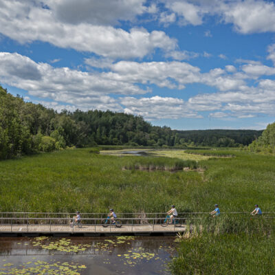
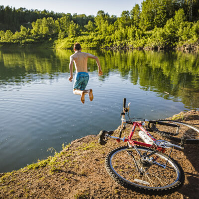
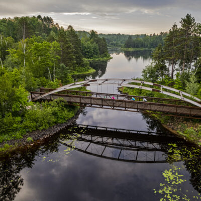
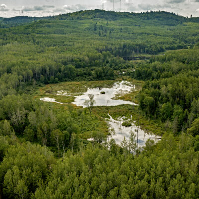
Along the way, you can travel through forests, lakes, and historic mining landscapes while passing through welcoming trail towns that offer Restaurants, Lodging, Farm Fresh Foods, Local Brews and attractions. Whether you’re planning a short family bike trip or a multi-day Mesabi Trail bike trip, this is one of the most unique riding experiences in Minnesota.
Click to request your free Mesabi Trail Map to plan ahead.
Trail Access Points
Use this list of Mesabi Trail trailheads and parking locations to access the trail. For your convenience, you can also purchase a Wheel Pass online.
| Town / Location | Trailhead / Access Point | Parking | Notes |
|---|---|---|---|
| Grand Rapids |
Itasca County Fairgrounds - Campground 1336 Fairgrounds Road, Grand Rapids, MN 55744 |
Yes | Major western starting point with full amenities. |
| Bovey |
Bovey Access Point Bovey, MN 55709 |
Yes | Easy access with nearby services. |
| Taconite |
Taconite Access Point Taconite, MN 55709 |
Limited | Small town access along the route. |
| Coleraine |
Coleraine Access Point 803 Cole Street, Coleraine, MN 55722 |
Yes | Popular stop with lake views and food nearby. |
| Marble |
Marble Access Point 603 Alice Avenue, Marble, MN 55764 |
Limited | Historic mining community. |
| Calumet |
Calumet Access Point Calumet, MN 55709 |
Yes | Good rest stop between segments. |
| Pengilly |
Pengilly Access Point Minnesota 65, Pengilly, MN 55775 |
Limited | Quieter access point. |
| Nashwauk |
Nashwauk Access Point 831 1st Street, Nashwauk, MN 55769 |
Yes | Reliable parking and services. |
| Keewatin |
Keewatin Access Point Keewatin, MN 55769 |
Limited | Short stop between larger towns. |
| Chisholm |
Chisholm Access Point Chisholm, MN 55719 |
Yes | One of the most developed trailheads. |
| Buhl |
Buhl Access Point Buhl, MN 55768 |
Yes | Scenic small-town stop. |
| Kinney |
Kinney Access Point MN 55768 |
Limited | Very small community stop. |
| Mountain Iron |
Mountain Iron Access Point Mountain Iron, MN 55768 |
Yes | Good parking and easy access. |
| Virginia |
Virginia Access Point 1428 North 9th Avenue, Virginia, MN 55792 |
Yes | Major services and central location. |
| Gilbert |
Gilbert Access Point Gilbert, MN 55741 |
Yes | Access near recreation areas. |
| McKinley |
McKinley Access Point 5252 Heritage Trail, Gilbert, MN 55741 |
Limited | Quiet stretch of trail. |
| Biwabik |
Biwabik Access Point 6233 Minnesota 135, Biwabik, MN 55708 |
Yes | Major recreation area (lodging, food, trails). |
| Aurora |
Aurora Access Point Aurora, MN 55705 |
Yes | Major recreation area (lodging, food, trails). |
| Embarrass |
Embarrass Access Point 4846 Highway 21, Embarrass, MN 55732 |
Yes | Scenic historic Finnish homesteads. |
| Tower |
Tower Access Point Tower, MN 55790 |
Yes | Key transition to eastern wilderness section. |
| Ely |
Ely Access Point Ely, MN 55731 |
Yes | End of trail near Boundary Waters. |
Mesabi Trail Shuttle Service
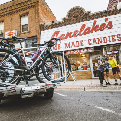
The Mesabi Trail shuttle from Grand Rapids to Ely accommodates four bikes, passengers, and gear per trip. (For larger groups, please call for pricing and availability.)
Mesabi Trail Distances and Terrain
Distances below represent approximate riding distances between towns along the Mesabi Trail, helping you plan key stops and segments. Terrain varies from flat forest riding in the west to rolling hills and lake country in the eastern Iron Range. Distances are based on official Mesabi Trail mapping and mile marker data. Actual mileage may vary slightly depending on specific trail access points and route conditions.
| Start Town | End Town | Approximate Distance |
|---|---|---|
Grand Rapids |
Coleraine |
7.5 miles |
Coleraine |
Bovey |
1.4 miles |
Bovey |
Taconite |
3 miles |
Taconite |
Marble |
4.3 miles |
Marble |
Calumet |
2 miles |
Calumet |
Pengilly |
3.8 miles |
Pengilly |
Nashwauk |
3.4 miles |
Nashwauk |
Keewatin |
5.4 miles |
Keewatin |
Hibbing |
11.3 miles |
Hibbing |
Chisholm |
8.4 miles |
Chisholm |
Buhl |
5.4 miles |
Buhl |
Kinney |
3 miles |
Kinney |
Mountain Iron |
6.8 miles |
Mountain Iron |
Virginia |
6.9 miles |
Virginia |
Eveleth |
8.3 miles |
Eveleth |
Gilbert |
3.7 miles |
Gilbert |
McKinley |
3.5 miles |
McKinley |
Biwabik |
4.4 miles |
Biwabik |
Aurora |
5 miles |
Aurora |
Hoyt Lakes |
5 miles |
Hoyt Lakes |
Embarrass |
10 miles |
Embarrass |
Tower |
23.1 miles |
Tower |
Soudan |
2 miles |
Soudan |
Ely |
23.7 miles |
Rules of the Road
Mesabi Trail Wheel Pass
Before you hop on the trail, grab a wheel pass. A pass is required for anyone age 18 and older using the Mesabi Trail. You can purchase an annual pass online, buy one from a wheel pass vendor along the trail, or use the self-pay boxes located at trail access points. Admission is free with a Club Mesabi membership.
Share the Trail
The Mesabi Trail is used by bikes, walkers, and other recreational users. Ride courteously and be aware of others enjoying the trail.
Keep Right, Pass Left
Stay to the right side of the trail except when passing. Always announce yourself when passing other riders or pedestrians.
Control Your Speed
Ride at a safe and controlled speed, especially on hills, curves, and when approaching trail crossings.
Stop at Road Crossings
Use caution at all road crossings and obey posted traffic signs and signals.
Yield When Appropriate
Cyclists should yield to pedestrians and slower trail users. Give an audible signal before passing and allow plenty of space when moving around others.
Pets on the Trail
Pets are allowed on the Mesabi Trail if leashed. Please clean up after your pet and be considerate of other trail users.
Protect the Trail
Help keep the Mesabi Trail beautiful by staying on the trail surface and disposing of any trash you bring.
Ride Prepared
Bring water, basic repair supplies, and check your bike before heading out. Trail segments can be long between towns and services.
Popular Attractions Along the Mesabi Trail
The Mesabi Trail is home to a variety of attractions, making it one of the best bike trails in Minnesota. Please visit our website for more information.
For more information about attractions on the Mesabi Trail, please visit the Mesabi Trail website.
| Town | Attraction | Description |
|---|---|---|
Grand Rapids |
Museum honoring the legendary actress born in Grand Rapids. |
|
Living history museum exploring Minnesota’s logging heritage. |
||
Cohasset |
Former mine pit turned outdoor recreation area for biking, paddling, and climbing. |
|
Hibbing |
Overlook of one of the largest open pit iron mines in Minnesota. |
|
Museum celebrating the birthplace of the Greyhound bus line. |
||
Home where music legend Bob Dylan spent his youth. |
||
Chisholm |
Museum campus highlighting the history and culture of the Iron Range. |
|
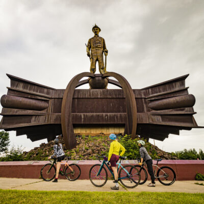
Landmark statue honoring generations of Iron Range miners. |
||
Virginia |
Minnesota’s tallest bridge spanning a former mine pit lake. |
|
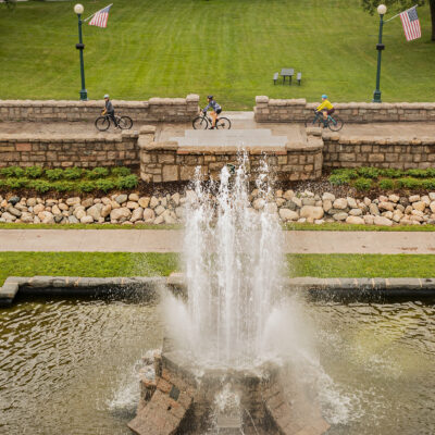
Historic park with gardens, fountains, and walking paths. |
||
Eveleth |
Museum dedicated to American hockey legends. |
|
Roadside landmark popular for photos. |
||
Gilbert |
Large outdoor recreation area with scenic overlooks and trails. |
|
Biwabik |
Four-season outdoor resort with golf, skiing, and recreation. |
|
Embarrass |
Museum highlighting Finnish immigrant history on the Iron Range. |
|
Tower |
Tour Minnesota’s oldest underground iron mine. |
|
Large scenic lake known for fishing, boating, and wilderness scenery. |
||
Ely |
Education center dedicated to wolf conservation. |
|
Learn about black bears through exhibits and live animals. |
||
Primary gateway to the world-famous wilderness of lakes and forests. Extends 150 miles along the international boundary with Canada. |
Scenic Highlights to Visit and Photograph
These are some of the most memorable stops along your Mesabi Trail scenic bike ride. Enjoy the beautiful vistas and snap a few selfies. Visit our Photo Gallery for a preview.
| Town | Scenic Highlight | Description |
|---|---|---|
Grand Rapids |
Mississippi River forest corridor |
Trail winds through dense northern forests near the Mississippi River. |
Coleraine |
Trout Lake shoreline views |
Clear northern lake with scenic water and forest vistas along nearby trail segments. |
Calumet |
Historic Iron Range mining landscape |
Riding past historic mining areas and scenic northern hardwood forests. |
Nashwauk |
Forest and wetland stretch |
Quiet wooded riding through remote northern Minnesota landscapes. |
Hibbing |
Hull–Rust–Mahoning Mine overlook |
Massive open pit mine creates dramatic views of Iron Range geology. |
Chisholm |
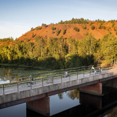
Iron Range |
Rugged, reclaimed industrial terrain characterized by dramatic elevation changes, deep water-filled mine pits, and steep red-earth cliffs |
Virginia |
Rouchleau Mine Pit Lake and Rukavina Bridge |
Minnesota’s tallest bridge offers sweeping views over a turquoise mine pit lake. |
Gilbert |
Lake country and forest scenery |
Trail passes through lakes, wetlands, and mixed northern forest. |
Biwabik |
Giants Ridge hills and forests |
Rolling terrain and scenic ridgelines near the Giants Ridge recreation area. |
Aurora |
Northern hardwood forest corridor |
Quiet riding through maple, birch, and aspen forests. |
Embarrass |
Rural Finnish countryside |
Open farmland and forest reflecting the region’s Finnish heritage. |
Tower |
Lake Vermilion shoreline country |
Large scenic lake surrounded by forests and rocky shorelines. |
Ely |
Primary gateway to Boundary Waters Canoe Area Forest. |
Riding through wilderness landscapes. |
Wildlife Abounds on the Mesabi Trail
The Mesabi Trail is home to an incredible variety of wildlife. Here are some of the critters you may spot.
| Animal | Where You Might See It | Interesting Fact |
|---|---|---|
Red Squirrel |
Conifer forests |
Very active gathering pinecones and seeds. |
Eastern Chipmunk |
Forest edges and trail crossings |
Often seen collecting acorns. |
Snowshoe Hare |
Wooded sections |
Large feet help it move through snow in winter. |
Painted Turtle |
Wetlands and lakes |
Sunbathes on logs near the water. |
Common Garter Snake |
Grassy trail edges |
Harmless and common in Minnesota. |
Black-capped Chickadee |
Forested sections |
Minnesota’s state bird companion species. |
Downy Woodpecker |
Tree-lined sections |
Often heard tapping before it’s seen. |
Blue Jay |
Hardwood forests |
Loud calls and acorn gatherer. |
Bald Eagle |
Lakes and rivers, especially near Tower and Ely |
Often seen soaring or perched near water; a major conservation success story. |
White-tailed Deer |
Throughout the trail, especially at dawn and dusk
|
Commonly seen grazing along wooded edges and open areas. |
Moose |
Remote northern sections near Ely |
Rare sighting; the largest member of the deer family in Minnesota. |
Black Bear |
Forested and remote areas, especially in northern sections |
Generally shy and avoids people; most active at dawn and dusk. |
Plan Your Ride with a Mesabi Trail Map
For digital wayfinding, download the Mesabi Trail RideWithGPS app to your smartphone. It provides a map, mileage for the trail segments, and elevation details to plan your adventure.
Request A Free Trail Map
Fill out the form below to order a free trail map. Your packet also includes visitors’ guides to Grand Rapids and the Iron Range. We’re overwhelmed with requests this time of year, so please allow one to two weeks for delivery.
The Mesabi Trail has been funded in part by the LCCMR and the Minnesota Environmental and Natural Resources Trust Fund.
